
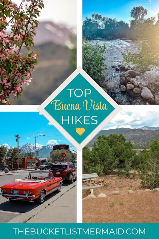
Best Hikes in Buena Vista (From a Local + Photography Tips)
This website contains affiliate links from trusted partners. If you purchase through a link on this site, I may earn a commission at no extra cost to you. As an Amazon Associate, I earn from qualifying purchases. See my Privacy Policy and Disclosure for more information.
Welcome to Buena Vista – where adventure starts the second you lace up your boots.
But here’s the thing: with so many incredible trails, where do you even begin?
It’s easy to waste precious trail time scrolling reviews or ending up on a route that’s meh at best.
I get it. You’re chasing that bucket-list high. The kind of hike that leaves you grinning, legs tired in the best way, camera roll full of “holy moly” shots.
No more second-guessing or FOMO from picking the wrong trail.
This guide is your all-in-one cheat sheet: the best hikes near Buena Vista—whether you want a chill lake stroll, a wildflower-studded climb, or a quad-burning summit that earns you a burger and beer after.
I’ve done the research (and the sweating) so you can hit the ground running.
By the end of this post, you’ll have your dream trail locked, your day planned, and a few insider photo tips to snag those Insta-worthy shots.
Updated October 2025: Now includes photography tips + packing list for adventure photographers!
Key Takeaways
- Buena Vista has a wide variety of hikes for every level of hiker.
- After countless research and adventuring, I found that the top 6 hikes in Buena Vista are: Midland Hiking Trails, Mt. Princeton, Ptarmigan Lake, Cottonwood Lake, Harvard Lakes Trail, and Mt. Yale.
Listen to This Podcast Episode About The Top Hikes in Buena Vista
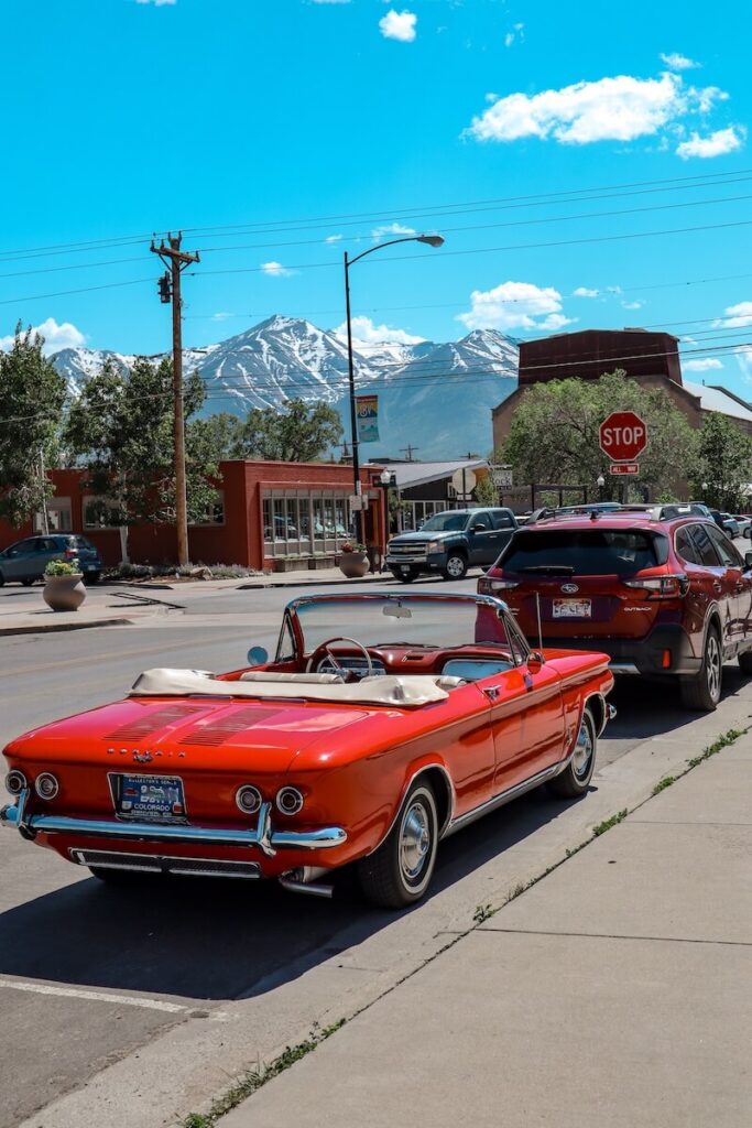
Where is Buena Vista?
Buena Vista is located about 2.5 hours southwest of Denver and 1.5 hours west of Colorado Springs, making it an easily accessible getaway for adventure seekers.
To get there, take US Highway 285, which winds through scenic landscapes and offers plenty of photo-worthy pit stops along the way.
Just 30 minutes north of the artsy and outdoorsy town of Salida, Buena Vista shares the same adventurous spirit and stunning scenery.
Getting to Buena Vista
The closest airport to Buena Vista, Colorado, is Aspen/Pitkin County Airport (ASE), located about 90 miles away.
However, for most travelers, Denver International Airport (DEN), about 140 miles to the northeast, is the most convenient option due to its larger size and better connectivity.
Colorado Springs Airport (COS) is another nearby choice, just 95 miles to the east, offering a shorter drive and less hectic experience than Denver.
You can check on flights below👇
Once you land, the drive to Buena Vista is an adventure in itself, with stunning mountain views and scenic byways guiding you to the heart of Colorado’s outdoor playground.
You can rent a car here.
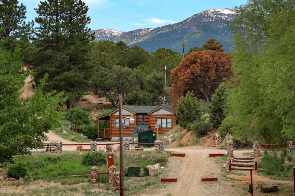
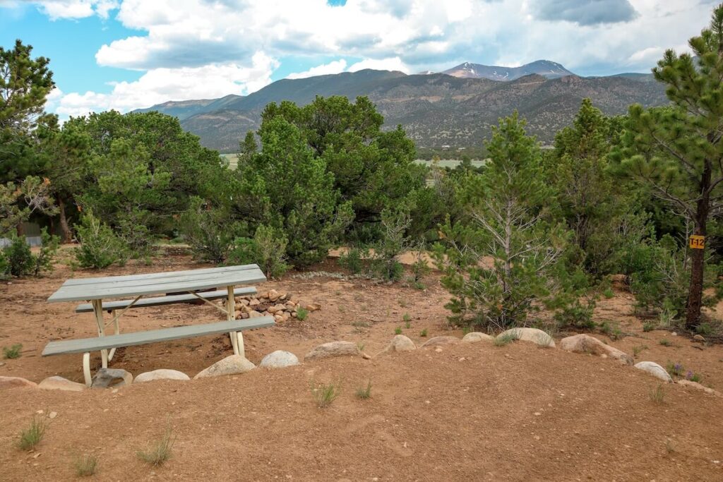
Where to Stay in Buena Vista?
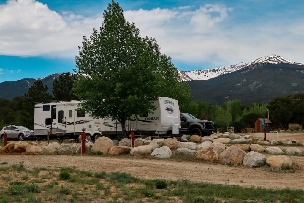
RV Parks
As you may know, I travel full-time in an RV! When I hiked Buena Vista, I ended up staying at Arrowhead Point Resort.
Luckily, this place is brimming with RV opportunities, so I went ahead and found the top 5 RV parks in Buena Vista for you.
Why hike Buena Vista?
Let’s rewind to how I ended up here in the first place.
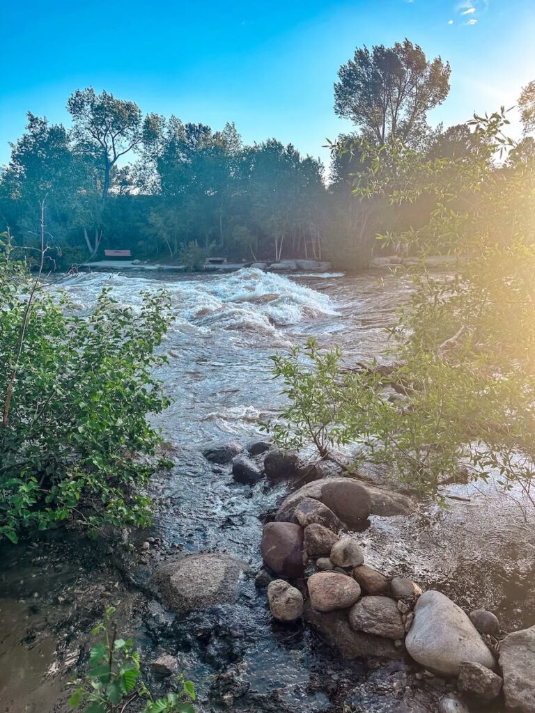
I came to Buena Vista with hopes of doing some rafting (I mean, the Arkansas River is right there). Unfortunately, a forest fire near Twin Lakes changed my plans. But when one adventure closes, another opens!
I shifted my focus to hiking – and let me tell you, Buena Vista is an absolute gem for outdoor lovers.
With breathtaking mountain views, serene rivers, and countless trails to explore, this town doesn’t disappoint.
Read More – Top Colorado Mountain Towns According to Locals
Top Hikes In Buena Vista
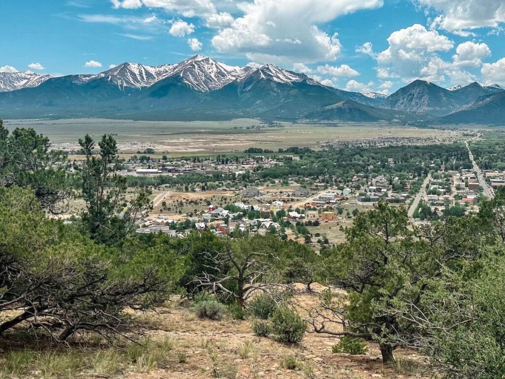
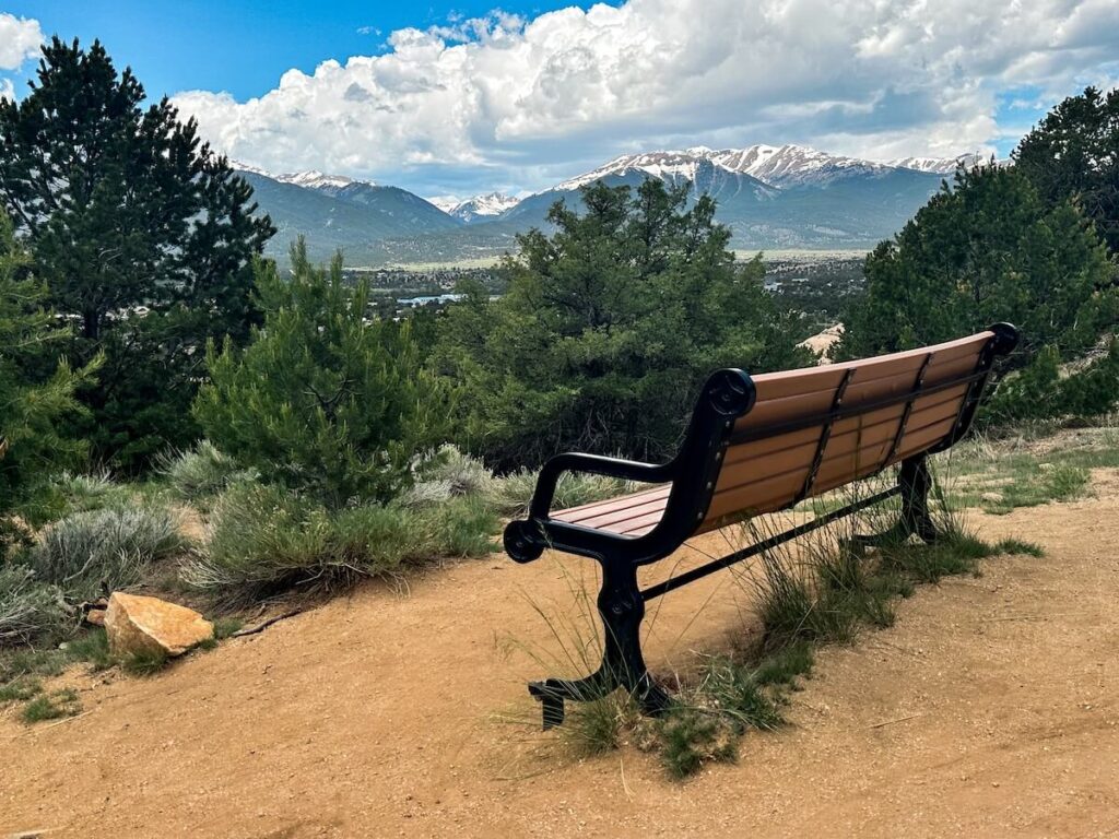
1. Midland Hiking Trails
One of my personal favorites is the Midland Hiking Trails, specifically the North Broken Boyfriend Trail. Yes, that’s really what it’s called!
This 3 to 3.5-mile trail is rated easy to moderate, with gentle inclines and plenty of gorgeous views.
The Collegiate Peaks loom in the distance, providing a stunning backdrop the entire way. My favorite part? Hiking along the river.
If you’re here in early June, the snowmelt creates this roaring, beautiful scene that’s truly magical.
Plus, this trail is super accessible and is just minutes from downtown Buena Vista.
| Type | Loop |
| Total Length | 3.3 miles |
| Elevation Gain | 488 feet |
| Difficulty | Easy |
| Estimated Time | 1.5 hours |
| Pets Allowed | Yes |
| Reservations Required | No |
2. Mount Princeton
If you’re up for a challenge, try Mount Princeton, one of Colorado’s famous 14ers. This trail takes you up to 14,197 feet, and the journey is no joke!
It’s about 7 miles round trip, with over 3,000 feet of elevation gain and plenty of steep switchbacks.
The views from the summit are worth every ounce of effort.
My pro tip? Start early – like 3 to 5 AM early – to avoid those afternoon thunderstorms and beat the sun.
| Type | Out & Back |
| Total Length | 7 miles |
| Elevation Gain | 3,320 feet |
| Difficulty | Difficult |
| Estimated Time | 5 hours |
| Pets Allowed | Yes, but careful of challenging terrain. |
| Reservations Required | No |
3. Ptarmigan Lake
For a moderate adventure with an incredible reward, check out Ptarmigan Lake.
This 6-mile round trip hike winds through forests and meadows before delivering you to a crystal-clear alpine lake.
It’s a steady climb, but nothing too extreme. Pack a picnic—you’ll want to soak in the serenity of this spot.
| Type | Out & Back |
| Total Length | 6.1 miles |
| Elevation Gain | 1,466 feet |
| Difficulty | Moderate |
| Estimated Time | 3.5 hours |
| Pets Allowed | Yes |
| Reservations Required | No |
4. Cottonwood Lake
If you’re looking for something quick and easy, head to Cottonwood Lake.
This 3-mile, family-friendly south trail is mostly flat with some moderate climbs.
| Type | Out & Back |
| Total Length | 3.1 miles |
| Elevation Gain | 728 feet |
| Difficulty | Moderate |
| Estimated Time | 1.5 hours |
| Pets Allowed | Yes |
| Reservations Required | No |
There is also a 0.5 mile loop in the campground. It’s a great option for anyone wanting a relaxing hike or a spot for fishing and wildlife watching.
5. Harvard Lakes Trail
Want something more secluded? Try the Harvard Lakes Trail. This 5-mile round trip hike is a hidden gem, featuring two alpine lakes, gorgeous aspen groves, and minimal crowds.
It’s peaceful, scenic, and perfect if you’re looking to escape the hustle and bustle.
| Type | Out & Back |
| Total Length | 5 – 7 miles |
| Elevation Gain | 1,519 feet |
| Difficulty | Moderate |
| Estimated Time | 3 hours |
| Pets Allowed | Yes |
| Reservations Required | No |
6. Mount Yale
Another bucket-list-worthy 14er is Mount Yale. Starting from the Denny Creek Trailhead, this hike takes you through dense forests and steep switchbacks before opening up to jaw-dropping views at the summit.
It’s physically demanding but so rewarding. Definitely one for the adventurers out there!
| Type | Out & Back |
| Total Length | 8.5 miles |
| Elevation Gain | 4,274 feet |
| Difficulty | Difficult |
| Estimated Time | 7 hours |
| Pets Allowed | Yes, but careful with challenging terrain. |
| Reservations Required | No |
If you want a less crowded and longer route, you could also take the Colorado and Mount Yale East Trail instead of the Brown’s Pass.
Difficulty of the best hikes in Buena Vista
| Easy | Moderate | Strenuous |
|---|---|---|
| Cottonwood Lake Trail | Ptarmigan Lake Trail | Mount Yale (14er) |
| Barbara Whipple Trail | Harvard Lakes Trail | Mount Princeton (14er) |
| Browns Creek Waterfall | ||
| Lost Lake Trail |
Honorable Mentions
- Browns Creek Waterfall – A fan favorite for good reason: a rewarding waterfall, dramatic scenery, and doable for most hikers. Plus, the trail is dog-friendly!
- Agnes Vaille Falls – Short, sweet, and waterfall-packed. A great option if you’re short on time but still want that “wow” factor.
- Lost Lake Trail – A bit of a hidden gem with fewer crowds and killer alpine lake views. Bring your camera—you’ll want proof you found this slice of heaven.
If you want to try your luck at photographing some waterfalls, the YouTube video is below 👇
Buena Vista Hiking Photography Tips
Buena Vista is an absolute dream for photographers. There are alpine lakes that mirror the sky, trails bursting with wildflowers, and peaks glowing in every shade of gold and pink.
Read More – How to Become an Adventure Photographer
Timing is everything
Start early to catch that soft morning light and glassy reflections before the wind (and crowds) roll in.
Golden hour is unbeatable for warm tones and long shadows, while blue hour adds a moody, cinematic glow, especially around lakes and ridge lines.
Keep your kit light, but smart
A wide-angle lens (16–35mm) is perfect for sweeping views, and a telephoto (70–200mm) helps layer peaks or catch wildlife.
A circular polarizer will make your skies pop and cut glare on alpine lakes, while a small tripod or Gorillapod is perfect for long exposures or self-portraits.
And don’t forget a microfiber cloth. Colorado dust will find you.
Compose with intention
Use rocks, wildflowers, or winding trails to lead the eye through your scene.
Reflections are your best friend – crouch low by the water to double those mountain views.
Add a human element (a hiker, silhouette, or backpack) for scale and storytelling.
Read More – The Best Backpacks for Hiking with a Camera
🧜♀️ Mermaid Tip: I use my Preset Pack to keep tones crisp, skies dreamy, and peaks glowing. It’s my go-to for every alpine adventure.
What to Pack for Hiking in Buena Vista (And My Top Picks!)
Let’s be real—Buena Vista’s trails are epic, but they’ll humble you fast if you’re not geared up right.
Hiking Checklist
- Hiking boots or trail runners — You need solid grip for rocky trails and possible snow patches.
- Daypack with water bladder or bottles — Buena Vista’s elevation will sneak up on you. Stay ahead of the dehydration headaches.
- Trekking poles — Game-changer on steep 14ers or stream crossings (Lost Lake, I’m lookin’ at you).
- Microspikes (early season) — Alpine trails can still be icy in June.\
- Sunscreen + lip balm — That high-altitude sun hits different.
- Hat + layers — Temps can swing wildly, even in summer.
- Tripod — For waterfall and lake shots.
Photography Checklist
Camera Essentials
- Camera Body: Your favorite DSLR or mirrorless (lightweight wins at altitude!)
- Lenses:
- Wide-angle (16–35mm) – for alpine lakes, sweeping vistas, and trail shots
- Telephoto (70–200mm) – for layering peaks or zooming on distant details
- Macro (optional) – for wildflowers, textures, or ice crystals
- Lens Filters:
- Circular Polarizer – cuts glare on lakes and enhances blue skies
- ND Filter – for silky waterfalls or long-exposure reflections
- Tripod or Gorillapod: Lightweight, compact, and perfect for long exposures or self-portraits. It’s a bit dated, but here is my favorite mini hiking tripod.
- Extra Batteries & Memory Cards: Cold temps drain faster at altitude.
My Go-To Travel Cameras: Canon EOS M50 mark II | Canon EOS 5D mark IV | What’s in My Camera Bag?
Timing Your Buena Vista Hiking Adventure
For most hikes, aim for late spring through early fall. Fall brings vibrant foliage, especially on trails like Harvard Lakes.
The summer months are perfect for tackling 14ers! Just remember: these mountains can be snow-packed well into June, so plan accordingly with gear or wait until mid-summer for safer conditions.
Tips for Hiking Buena Vista
- Start Early: For 14ers, a 3 to 4 AM start is ideal to avoid afternoon thunderstorms.
- Layer Up: Mountain weather changes quickly. Always bring layers and a rain jacket.
- Stay Hydrated: Buena Vista is at high elevation, so drink plenty of water and take it slow to prevent altitude sickness.
And there you have it—my favorite hikes in Buena Vista! Whether you’re summiting a 14er or enjoying a peaceful lakeside trail, this area has something for everyone.
If you’ve tried any of these hikes—or have a favorite I didn’t mention—drop me a message or tag me on social media! I’d love to hear about your adventures.
Until next time, happy hiking, adventurers!
Find More Adventurers in Buena Vista
Ready to Hike Buena Vista?
Buena Vista’s trails are pure Colorado magic.
The best part? You don’t have to overthink it. With this guide, you’ve got everything you need to pick your perfect trail, pack smart, and soak up those jaw-dropping views like a pro.
If you get some amazing photos, tag me @TheBucketListMermaid on Insta — I love seeing your adventure shots!
Now go make those bucket list dreams happen. ✨
Find More Adventure in Buena Vista
- Top Adventure Tours in Buena Vista
- Best RV Parks in Buena Vista
- Arrowhead Point Resort Review
- St. Elmo Ghost Town Near Buena Vista
- Escaping Forest Fires In Buena Vista
- Showing with Spiders
Follow The Tail